GOLF
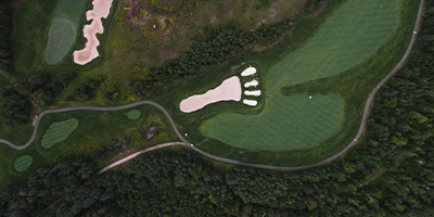
Giants Ridge has long been considered one of Minnesota’s best resort golf vacation destinations. Year after year, national golf publications have ranked The Legend and The Quarry near or at the top of the best golf courses in the world.
MOUNTAIN BIKING
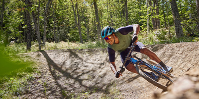
Mountain Biking at Giants Ridge is designed for all for riders of all abilities, from beginners to experts. Whether you’re looking for a scenic cruise through the woods or an adrenaline-pumping descent down a steep slope, you’ll find it here at Giants Ridge.
DISC GOLF
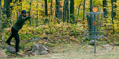
The Giants Ridge disc golf course is one of Minnesota’s most beautiful and very best! Covering over 80 acres and up to 10,000 feet (champion position) of fairway distance, our course is also Minnesota’s longest.
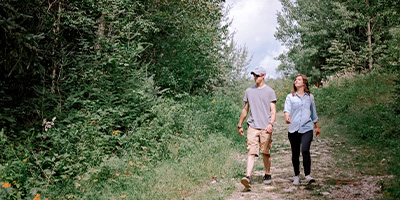
HIKING
If you’re looking for a great hiking experience, the Sleeping Giant and Northface trails can be easily combined into a loop. Be sure to check out our lift-served Ridgeview Overlook and Wynne Lake Vista trails for beautiful views from the top of the Giants Ridge.
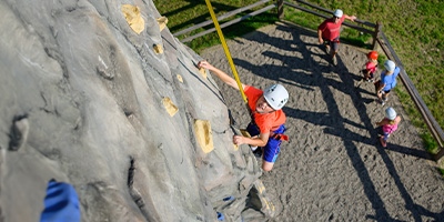
CLIMBING WALL
Whether your are a beginner or an aspiring climber, conquer the wall with confidence and excitement. Test your skills and create unforgettable memories at Giants Ridge.
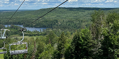
SCENIC CHAIR RIDES
Experience the awe-inspiring beauty of Minnesota’s Iron Range with Giants Ridge’s scenic chair lift rides, offering breathtaking panoramic views of forests, hills, and lakes.
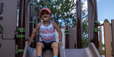
CHILDRENS PLAY AREA
The children’s play are at Giants Ridge is a vibrant and fun-filled space, equipped with exciting play structures and interactive features, providing endless entertainment and joy for young adventurers.

DINING
Dining at Giants Ridge offers a delectable culinary experience, featuring a variety of delicious cuisine options in a cozy and inviting atmosphere, perfect for satisfying appetites and creating memorable dining moments.
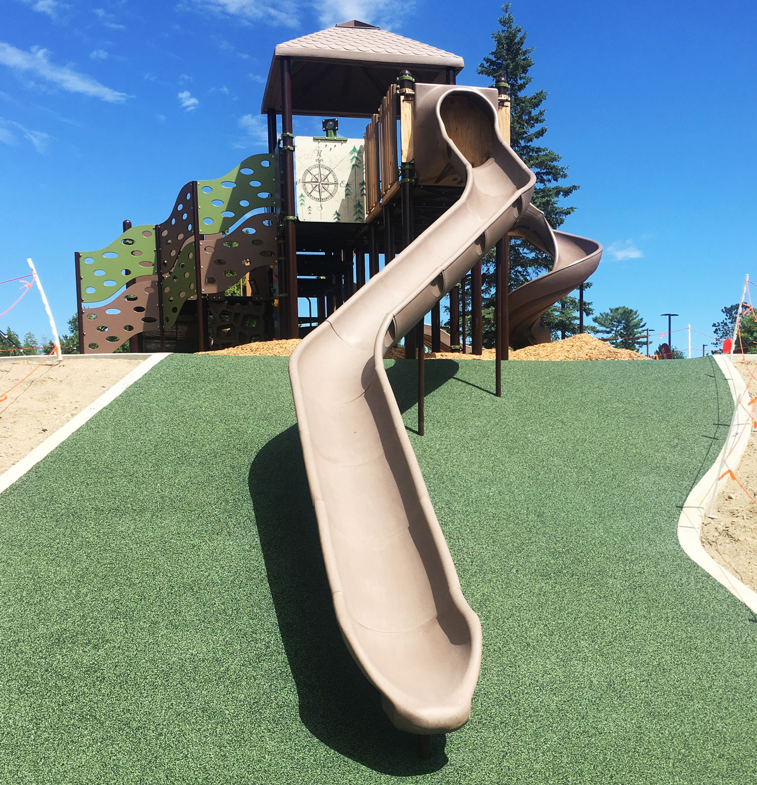
Children's Play Area
The Children’s Play Area at Giants Ridge is conveniently tucked between the Main Chalet at Giants Ridge and The Lodge at Giants Ridge.
As the seasons allow, the Giants Ridge Children’s Play Area is the perfect spot for families to wear off some extra energy, while enjoying your Giants Ridge adventure. Features of the play area include slides of varying routes and elevation, unique climbing obstacles, as well tidbits of regional outdoor adventure information.
PLAY AREA

Email Sign-up
Receive trip ideas, top activities, and event reminders by signing up for our e-newsletter.